
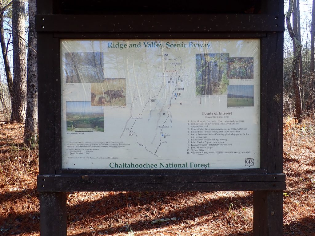
VILLANOW, GEORGIA
| RIDE TYPE Road | DISTANCE 46.0 Miles | ASCENT 1639 Feet |
| COURSE Loop | TERRAIN Rolling | SETTING Forest, Rural |
Northwest Georgia’s 46 mile Haywood Valley route ranks among the classics. These roads are well traveled by local riders and used for organized charity rides throughout the year. The 100% paved route travels through part of the Johns Mountain Wildlife Management Area, into “The Pocket” and along gorgeous Haywood Valley Rd from which the route gets its name. Expect mountain views, gently undulating terrain and little to no traffic.
The Haywood Valley route travels through a mountainous area known as the Ridge and Valley Appalachians. These extend from New York all the way into Alabama and this route shows off the geology well. A cross section of the route illustrates how it sticks to the valleys and gently rolling bottomland between the ridges.

This area is sparsely populated and the terrain is unique. Along the way you will enjoy impressive views of the rock capped ridge tops, rushing creeks, campsites, pasture land and the remains of long gone homesteads.
Southbound Pocket Rd and northbound Haywood Valley Rd make up the lions share of this route. They are well know to local cyclists and used as part of the yearly Up The Creek Without a Pedal charity ride. If there were a search to find a quintessential cycling road then Haywood Valley Rd would certainly rank. This is the kind of road which leaves cyclists gushing.
As published the route starts at the northern most point in the hamlet of Villanow. The route is frequently started from the south at Armuchee Middle School but only when school is not in session. Either way, store stops are indicated on the map.
Expect gently undulating terrain and a few longer grades toward the north end of the route. The route flattens considerably toward the south. Two climbs are possible as side excursions – Calhoun Gap is located left at mile 7.7 on Lake Marvin Rd while Little Sand Mountain can be accessed by turning left at mile 29.4. More adventurous cyclists can incorporate these climbs into longer routes but keep in mind Haywood Valley Rd which should not be missed.


- Traffic is usually very light in this area. The only exceptions are around the Armuchee Middle School when school is in session and campers getting to and from The Pocket Recreation Area on typical holidays.
- Cell reception will be spotty throughout the route.
- Parking is available on Stansell Circle in Villanow if starting from the north end of the route.
- Parking at the south end of the route is available at Armuchee Middle School but only when school is not in session. The school is indicated on the map.
- A store stop is available at the south end of the route at the corner of Martha Berry Highway (Rt 27) and New Rosedale Rd.
- Water may be available at Ebeneezer Baptist, located at mile 29 on the map. The spigot is between the two sets of stairs.
- The convenience store in Villanow will not permit use of the restroom. The restrooms at the Dollar General store just around the corner on highway 136 are very clean and well kept.
- The nearest towns with full services are Summerville and LaFayette to the west and Dalton to the northeast.
Terms of Use: Use of this route is at your own risk. This route map and associated route descriptions are believed correct at the time of publication but accuracy cannot be guaranteed. You assume all responsibility for 1) checking weather and road conditions, 2) knowing and obeying land use rules and restrictions, 3) knowing and obeying all rules of the road, 4) carrying and using proper safety and navigation equipment and, 5) knowing the limits of your physical ability. SoutheasCyclingRoutes.com, contributors and Timothy Hollingworth are in no way liable for personal injury, damage to personal property, or any other loss to individuals following this route or using information contained in the route map or description.
Did this ride last Sunday and it was absolutely beautiful, just as described. Thank you so much for this website, this is a wonderful resource for cyclists getting to know the area. Ride on!
This looks like a lot of the Up the Creek organized route; a great Spring ride which starts in downtown Rome for a good 65 mile route. Love this area!