
CENTRALHATCHEE, GEORGIA
| RIDE TYPE Mixed-Surface | DISTANCE 55.6 Miles | ASCENT 3710 Feet |
| PAVEMENT 43% | COURSE Loop | TERRAIN Rolling |
| GRAVEL 57% | SETTING Forest, Rural | HIGHEST POINT 1280 Feet |
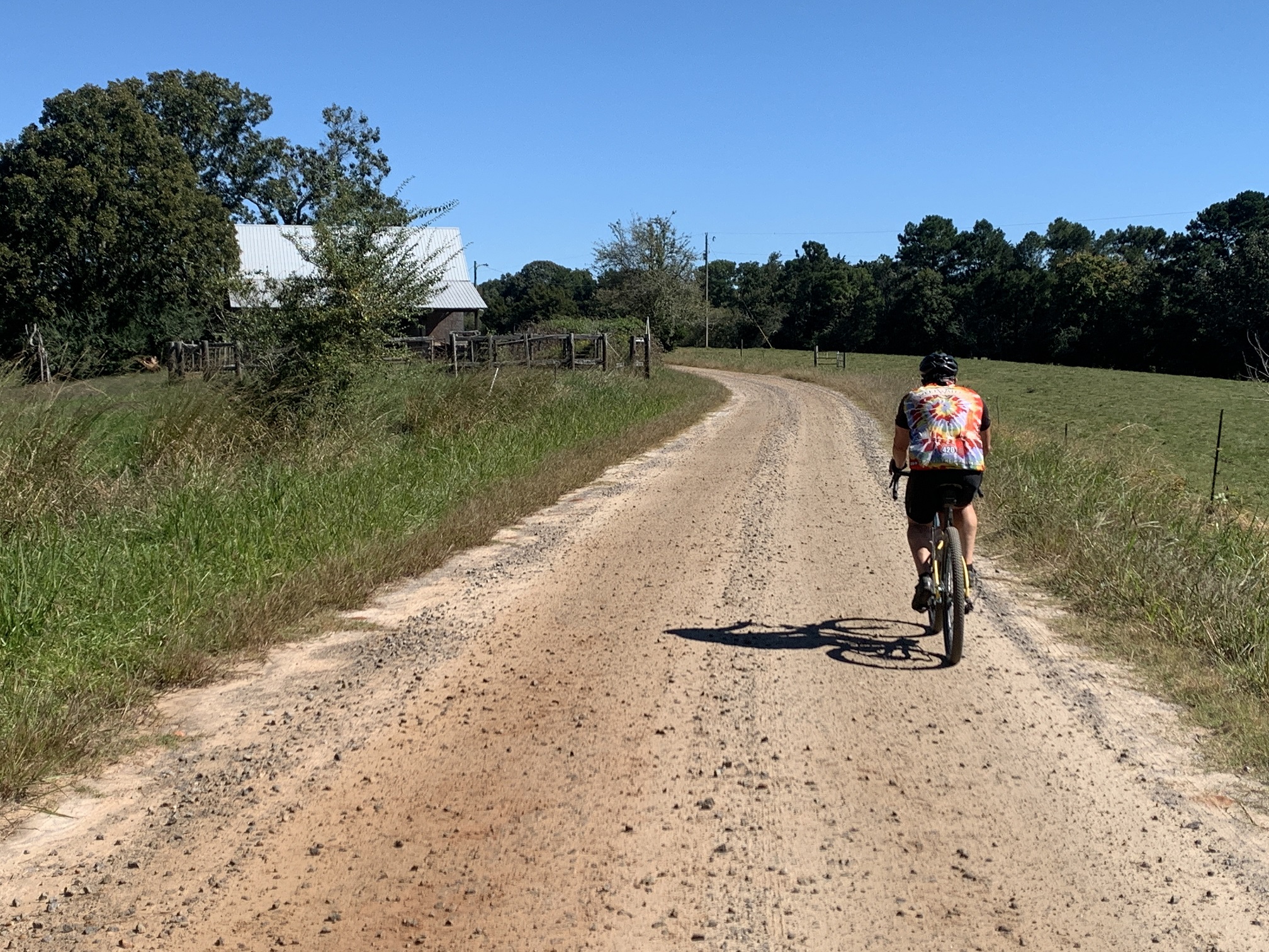
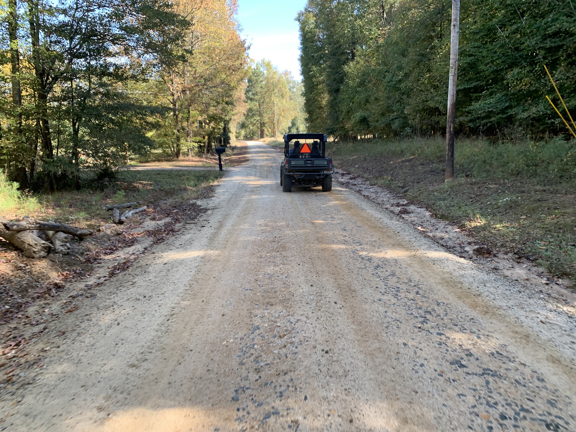
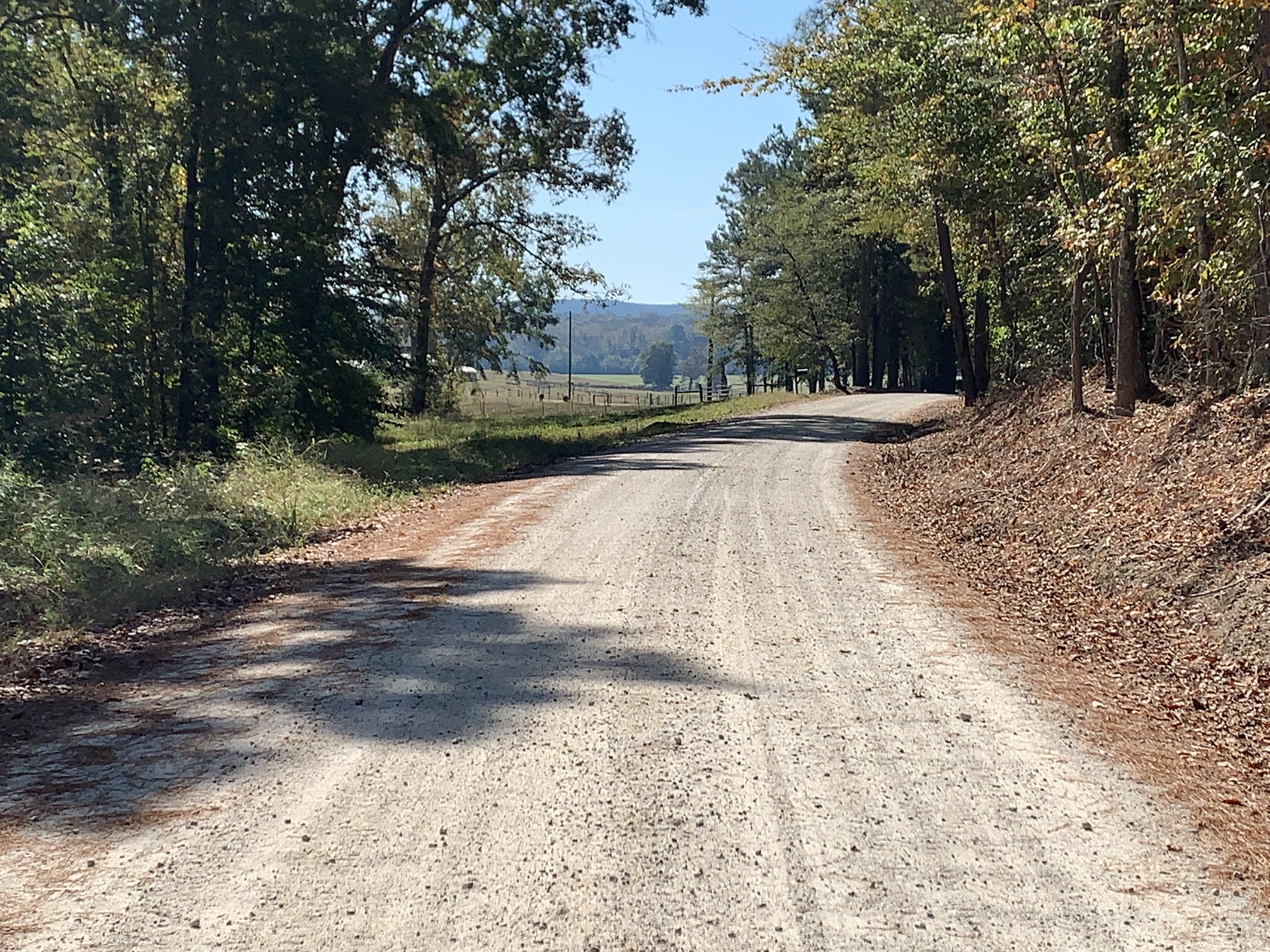
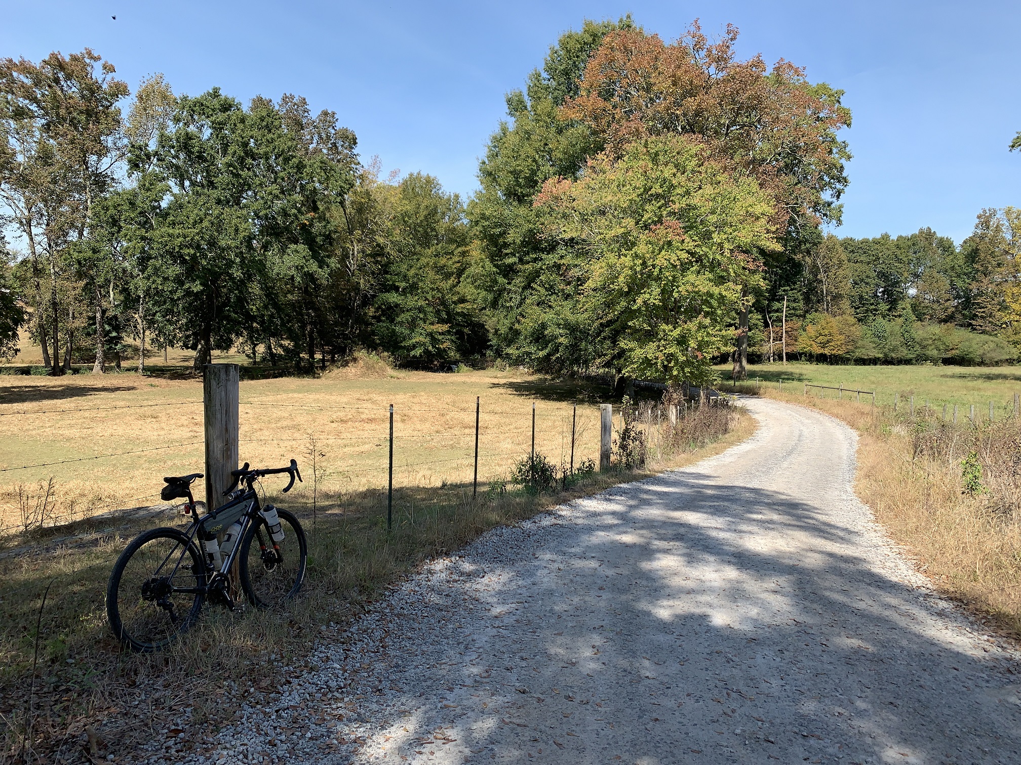
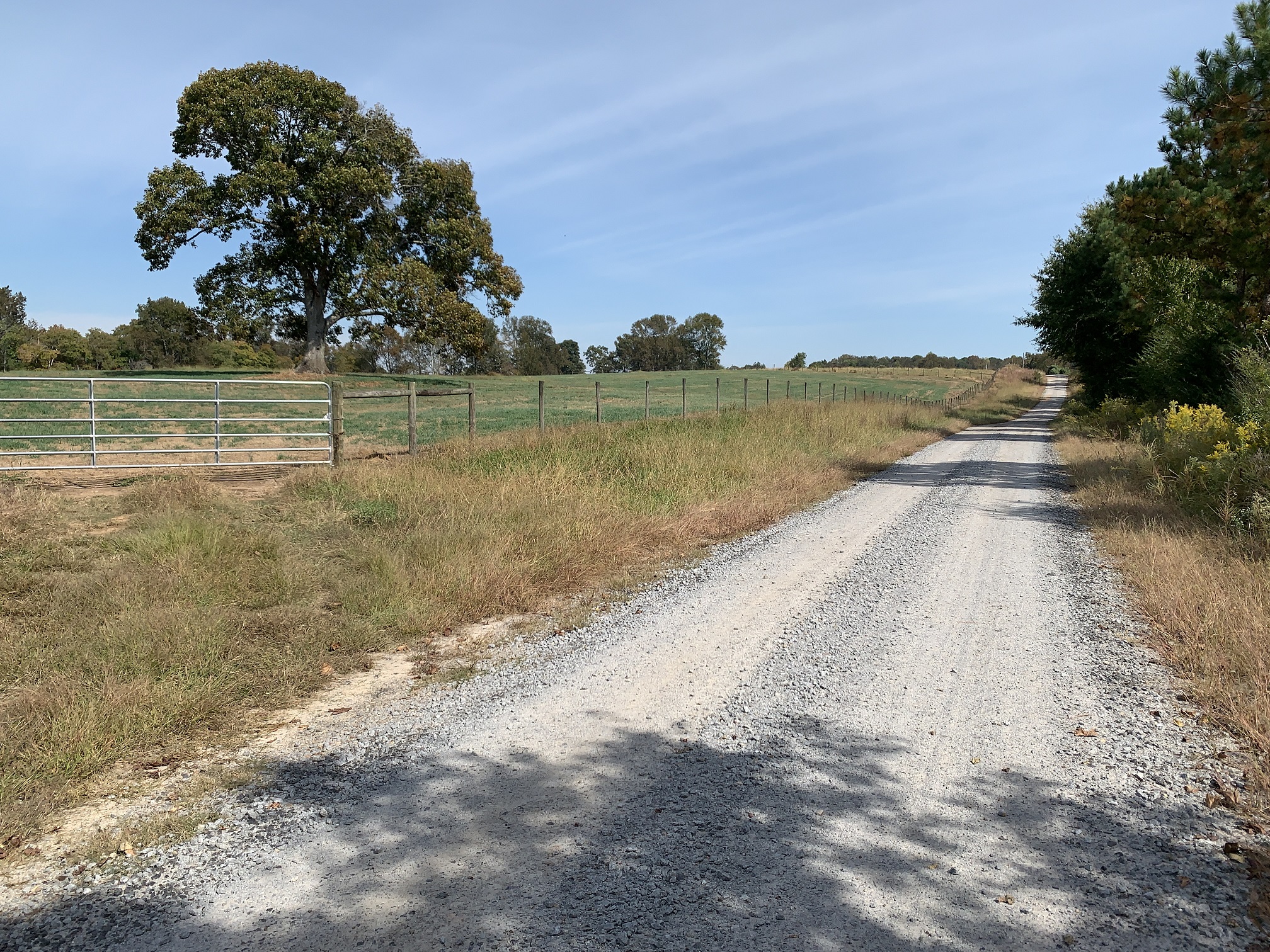
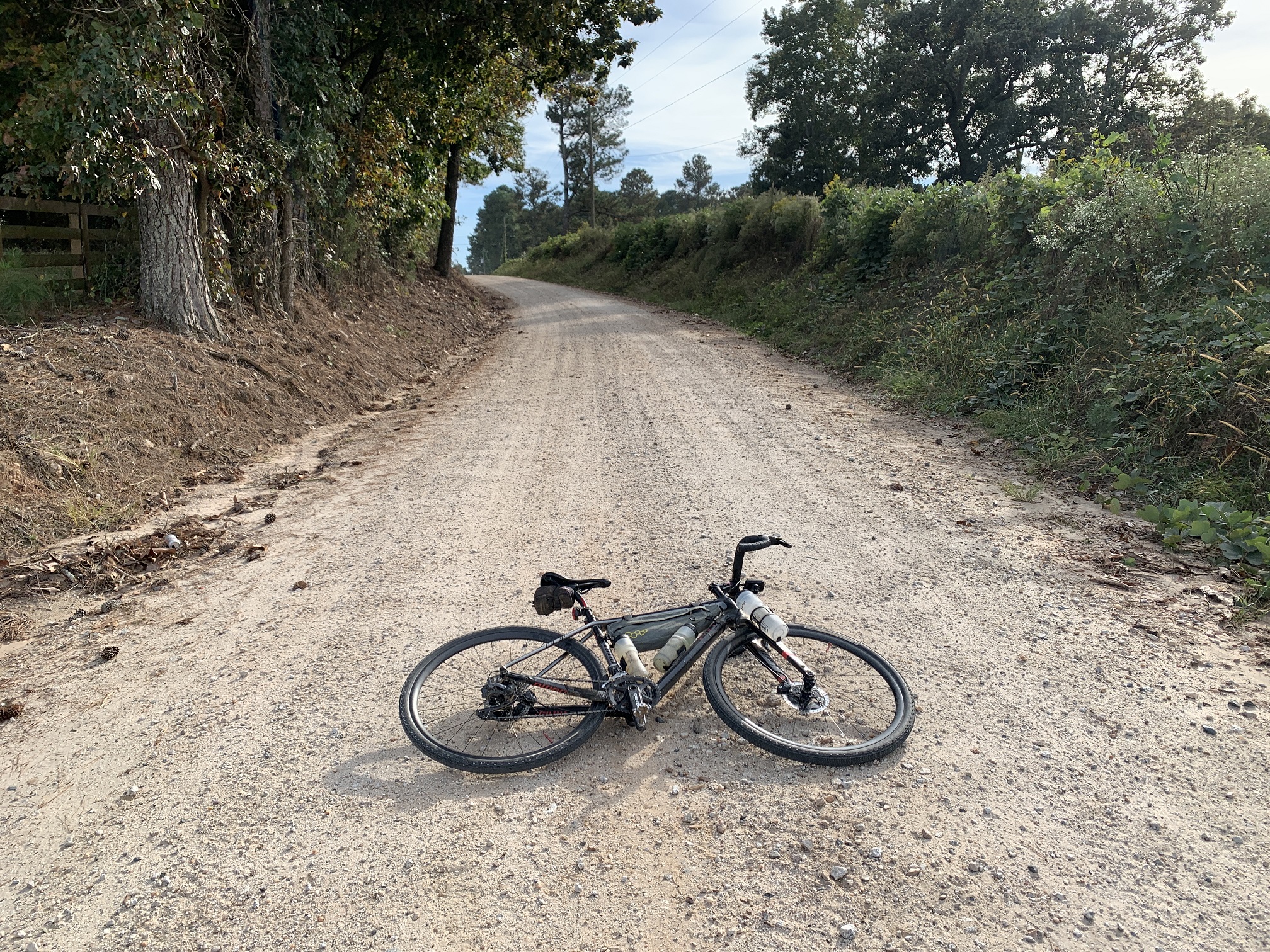
The 56 mile Centralhatchee Mixed Surface route meanders through the pastoral landscape of West Georgia’s Heard and Carroll Counties. Farming is the area’s biggest industry and the route passes dozens of working farms, each one prettier than the last. It feels like riding through a postcard at times, especially for city or suburban folk. The sparsely populated area has very light traffic and some of the highest quality gravel you will ever ride.
The Centralhatchee Mixed Surface route illustrates West Georgia’s tremendous potential as a gravel riding destination. Light traffic, wonderful scenery, rolling terrain and fantastic gravel all combine to make the area the equal of anything else the Southeast has to offer.
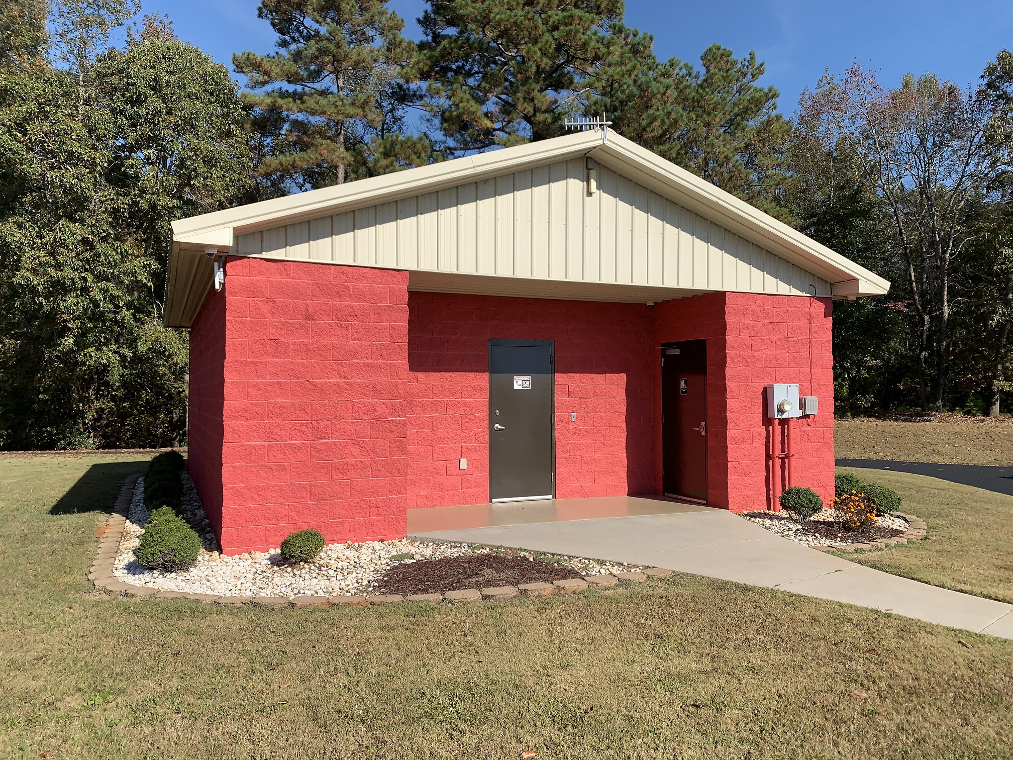
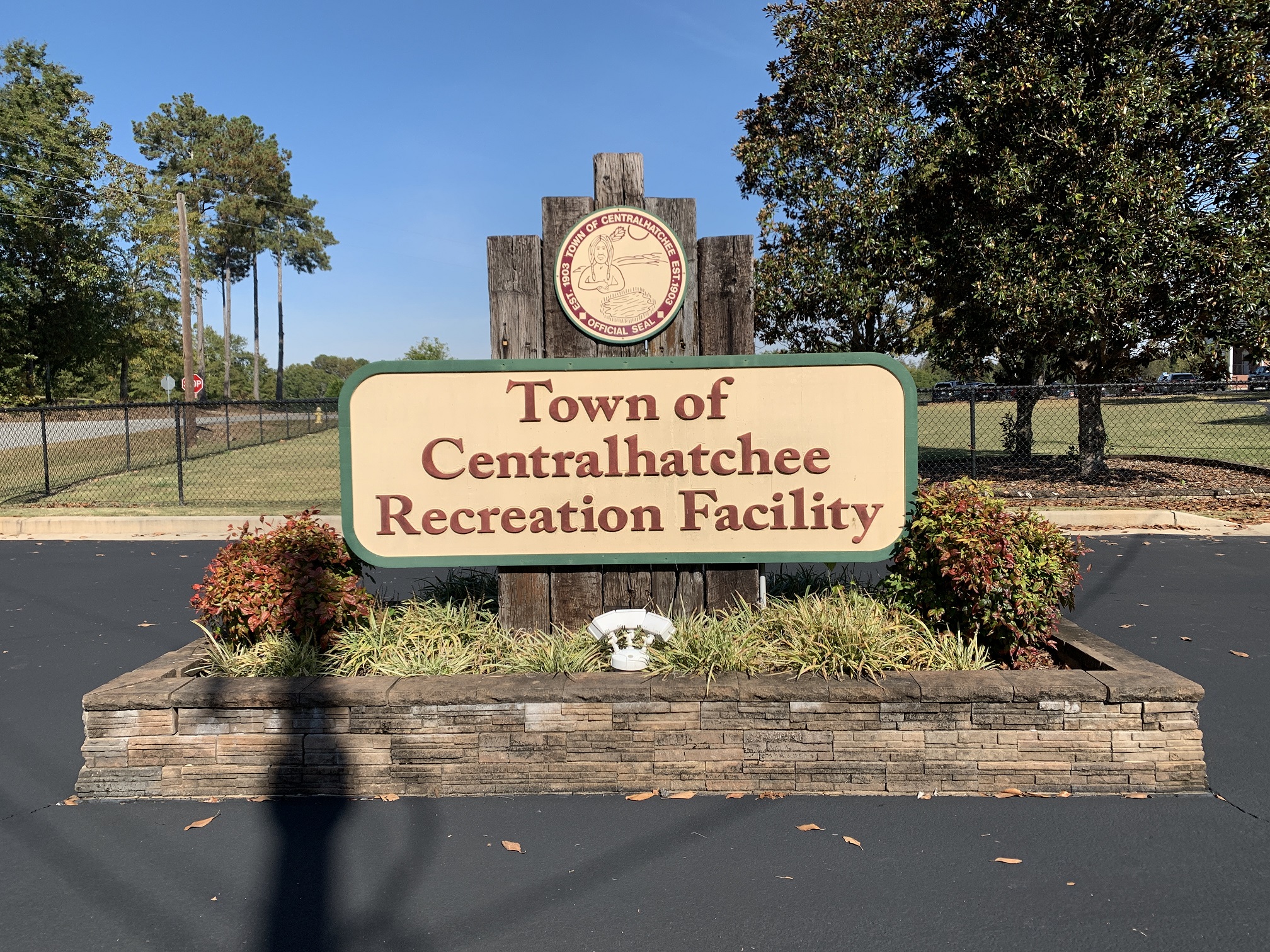
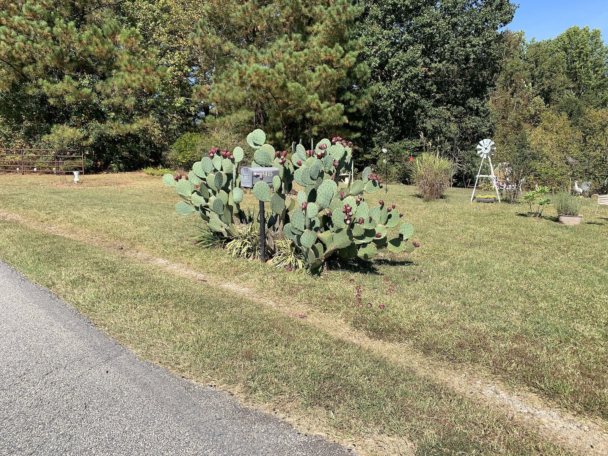
The route starts at the Centralhatchee Recreation Facility in Centralhatchee, Georgia. In the four times SoutheastCyclingRoutes.com has started rides here, there have never been more than two or three cars parked in the lot. The area’s residents don’t seem to use the park much, which is a shame given such nice amenities. There’s a covered pavilion, tennis and basketball courts, baseball field, kids playground and walking trails. Restrooms are spacious and immaculate. Be sure to check out the moving veterans memorial as you pedal toward the park’s exit.


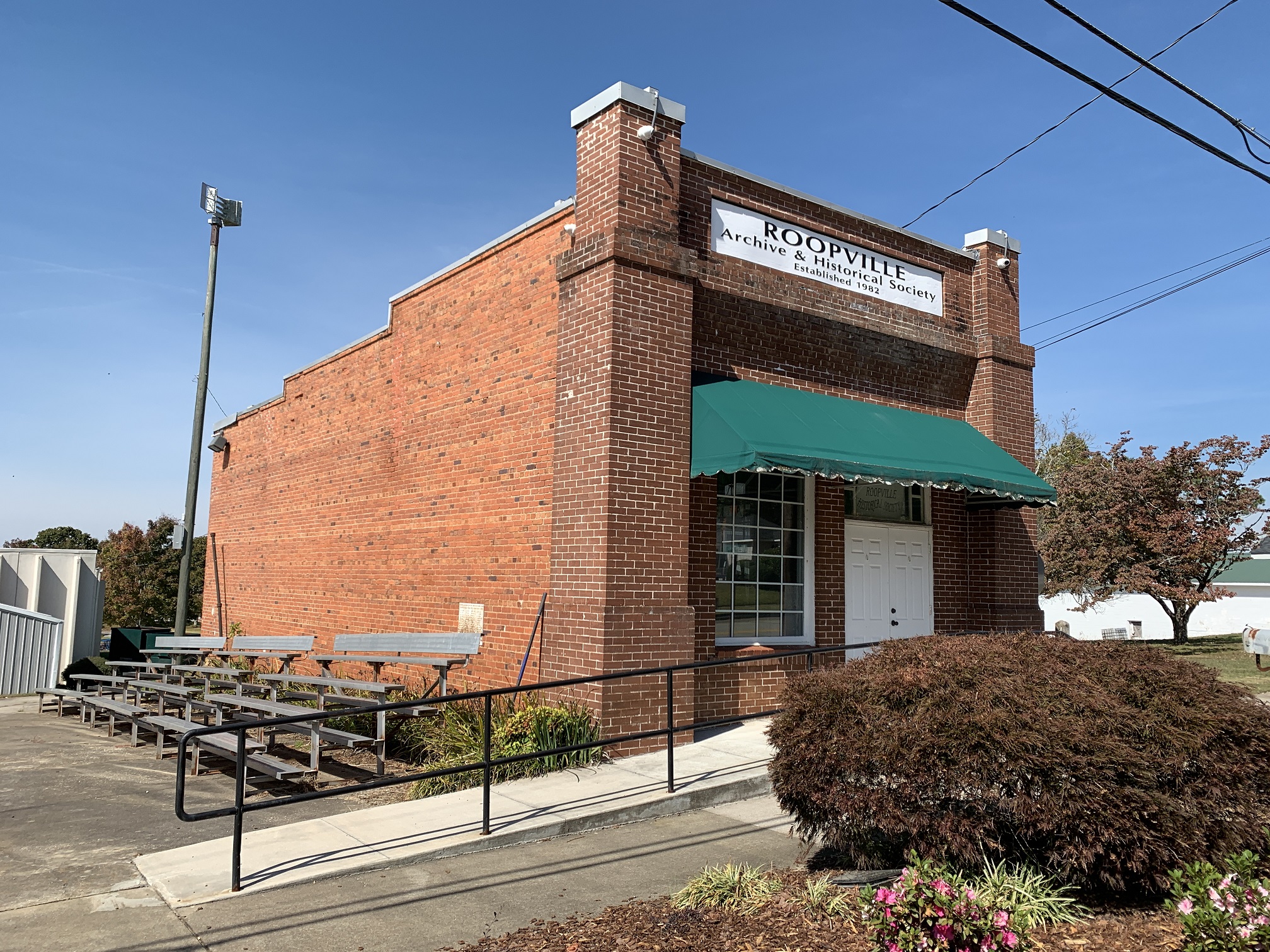
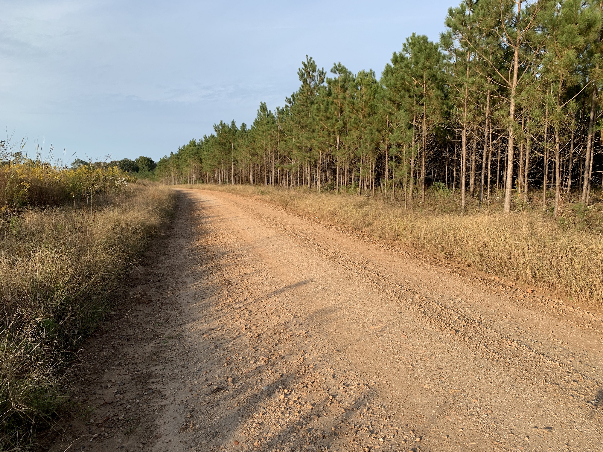
Lack of human presence is a theme which continues for much of the route. Keep in mind that Heard County is one of the least populated counties in Georgia. You’ll pass plenty of houses and farmsteads but with the exception of store stops, there just aren’t very many people around. Sparse population means light traffic and the only traffic to speak of is near churches on Sunday morning and approaching the town of Roopville where the route crosses highway 27.
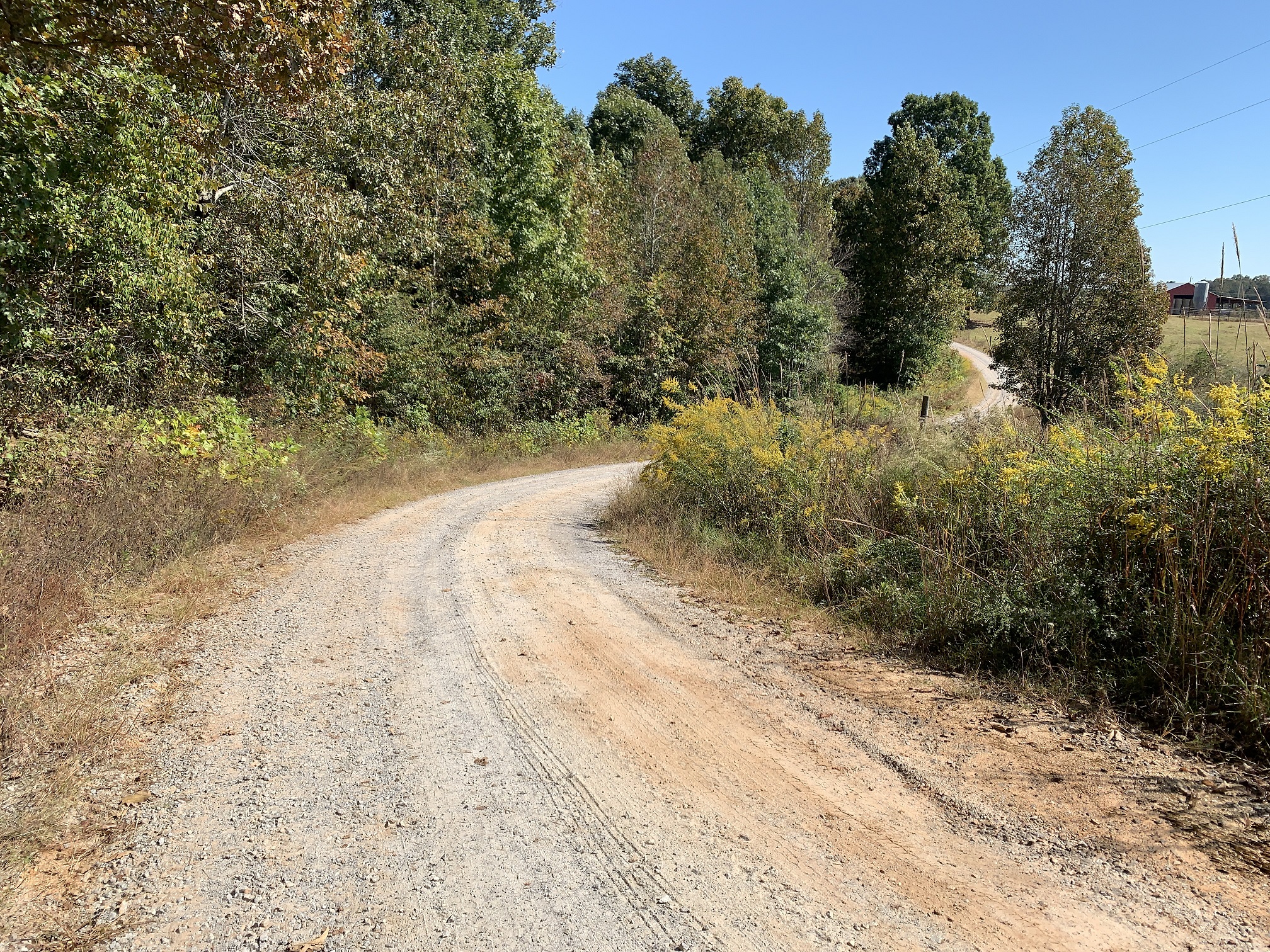
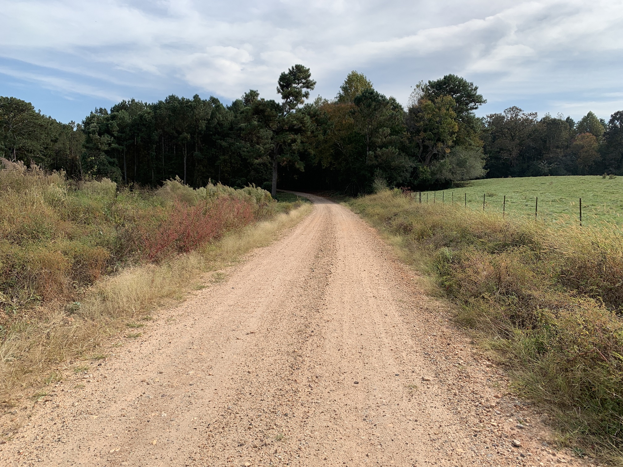
The route switches surfaces quite often so that its never boring or tedious. Heard and Carroll Counties take excellent care of their gravel. Most of it is hard packed with a very light coating. It’s the stuff we dream of, never chunky and as fast or as relaxing as you want it to be.


56 feet/mile average places the Centralhatchee Mixed Surface route near the flatter end of the spectrum. There are no long climbs but a few kickers might require briefly standing out of the saddle.This clearly isn’t the mountains but there are very few actual flat roads on this route. The route almost always climbs or descends, even if the grade is relatively gentle. Those who enjoy the Murder Creek routes will love the Centralhatchee Mixed Surface route, though this has a bit more climbing.
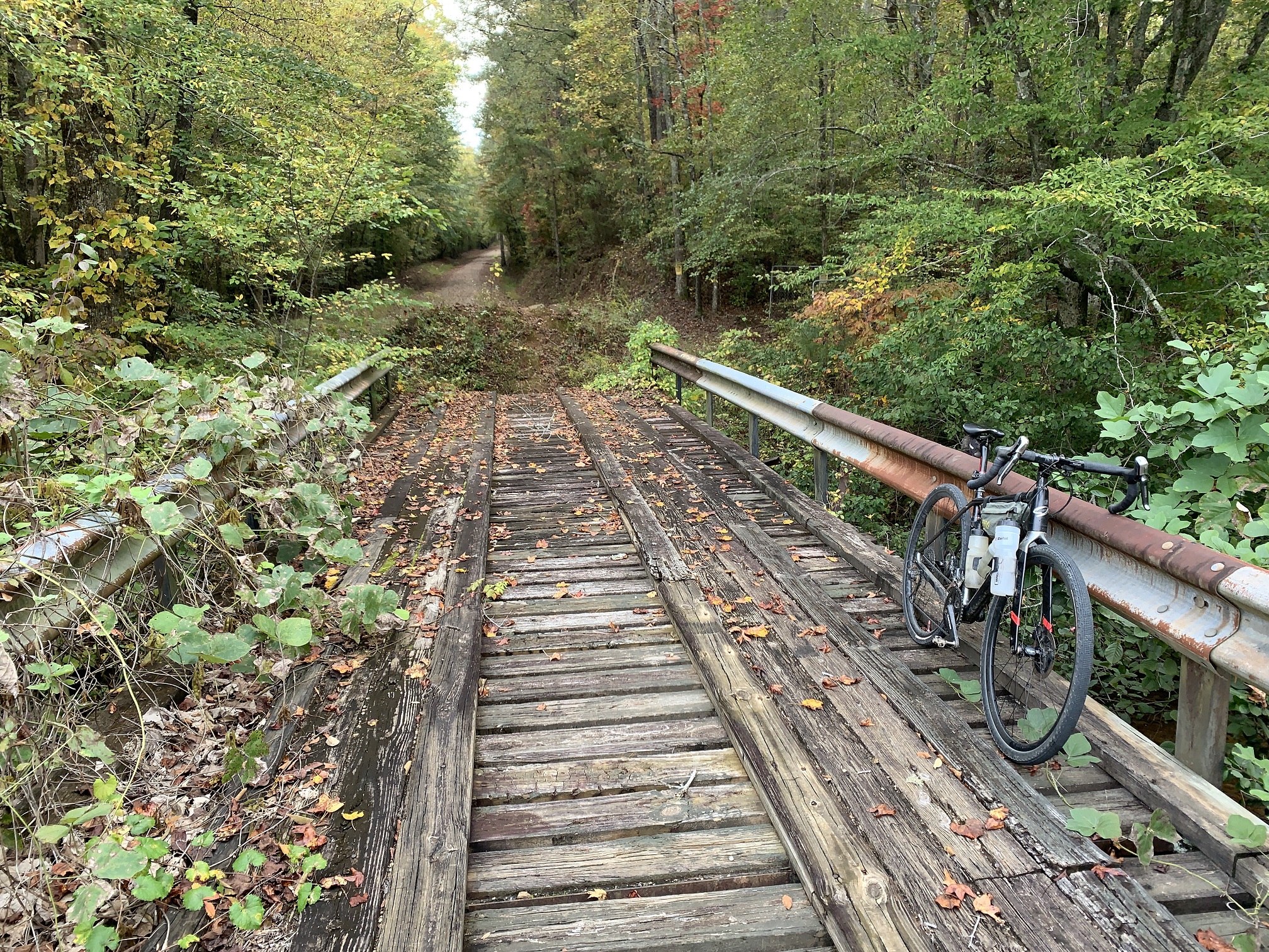
What appears to be a dead-end around mile 43.3 is the only spot you’ll have to dismount and walk. Here a path through the kudzu leads to a wooden skeleton bridge. Negotiating the berm erected to keep cars from using the bridge is a bit of a challenge but its a nice place for a nutrition and hydration break. Paved Thaxton Rd is the alternate for those who wish to bypass this little “Adventure” section. See the maps and tabs below for more information.
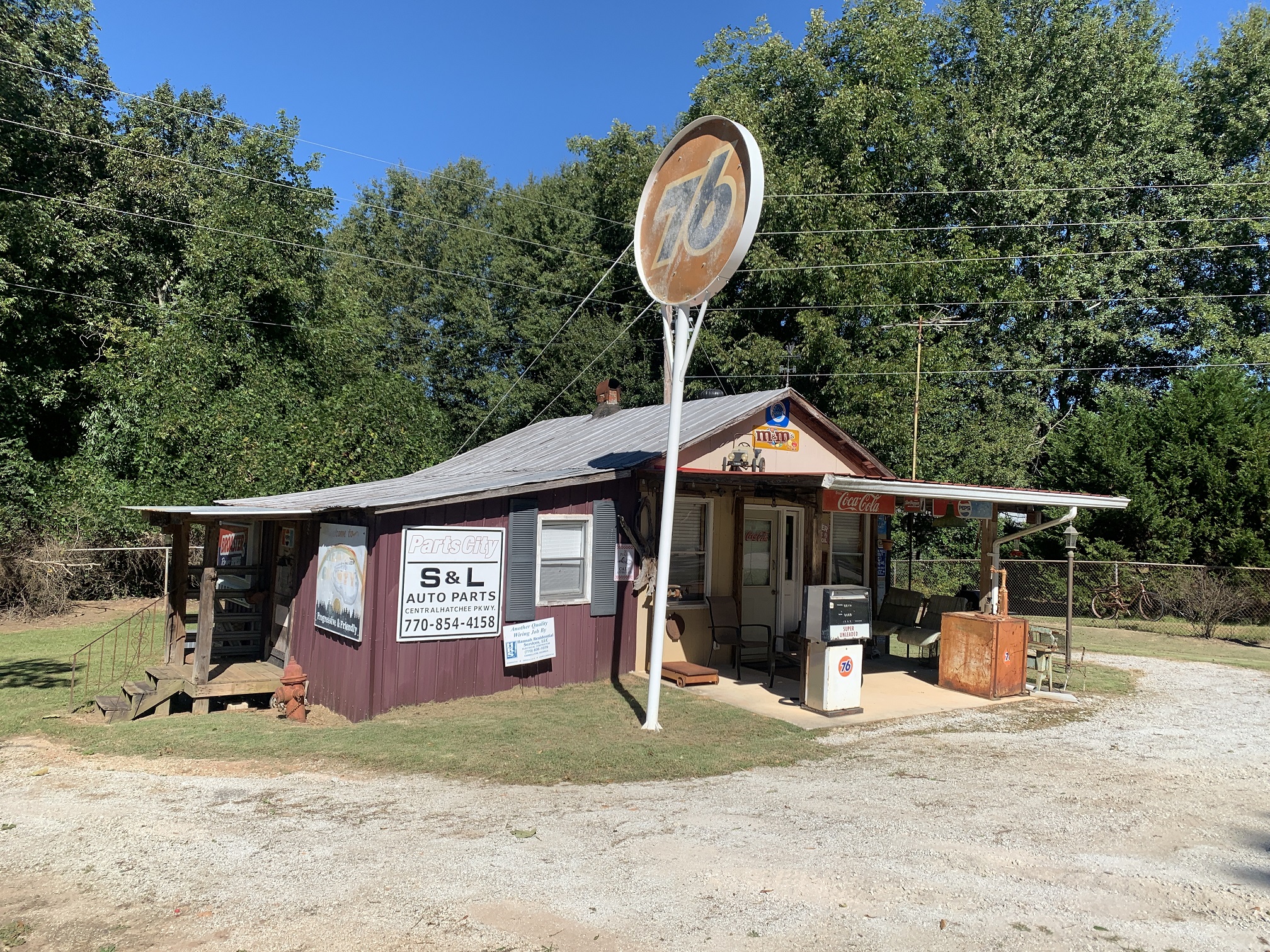
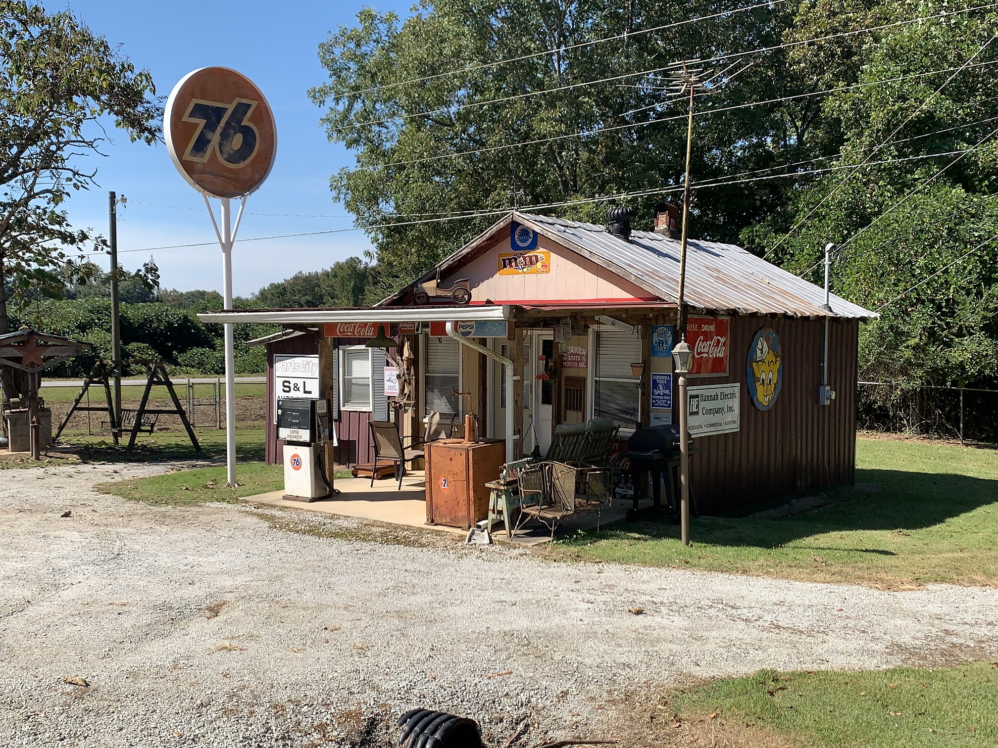
You can’t miss an old store with lots of car memorabilia and old bicycles hanging from the fence around mile seven. Car lovers might want to budge a little extra time to check out the many classics which decorate driveways and lawns.
Keep an eye on the SoutheastCyclingRoutes.com Routes Map page for more great routes in this area and please consider letting everyone know about your experience by posting in the comments section below. Sharing practical information such as road closures as well as your challenges and joys, provides invaluable feedback as SoutheastCyclingRoutes.com plans future routes. It’s a great way to help your fellow cyclists as well.


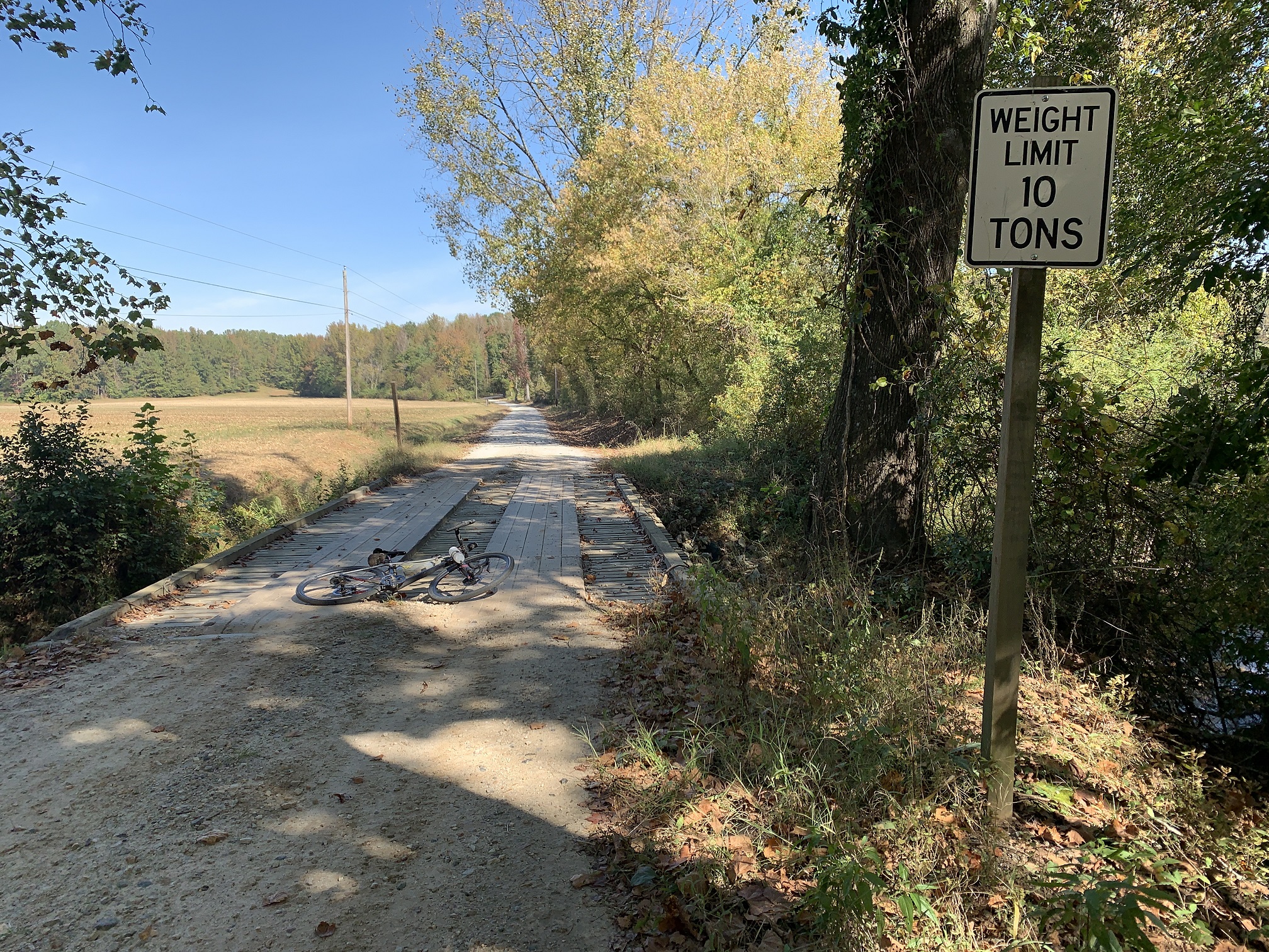


- The dead-end at mile 43.3 isn't really a dead end. Dismount and follow the trail through the kudzu. You will need to scramble down the embankment and lift your bike over the berm. Its only about 30 feet but in the summer you will work up a sweat. The bridge is on the other side of the berm. See the "No Bridge" map above for an alternate route which uses Thaxton Rd.
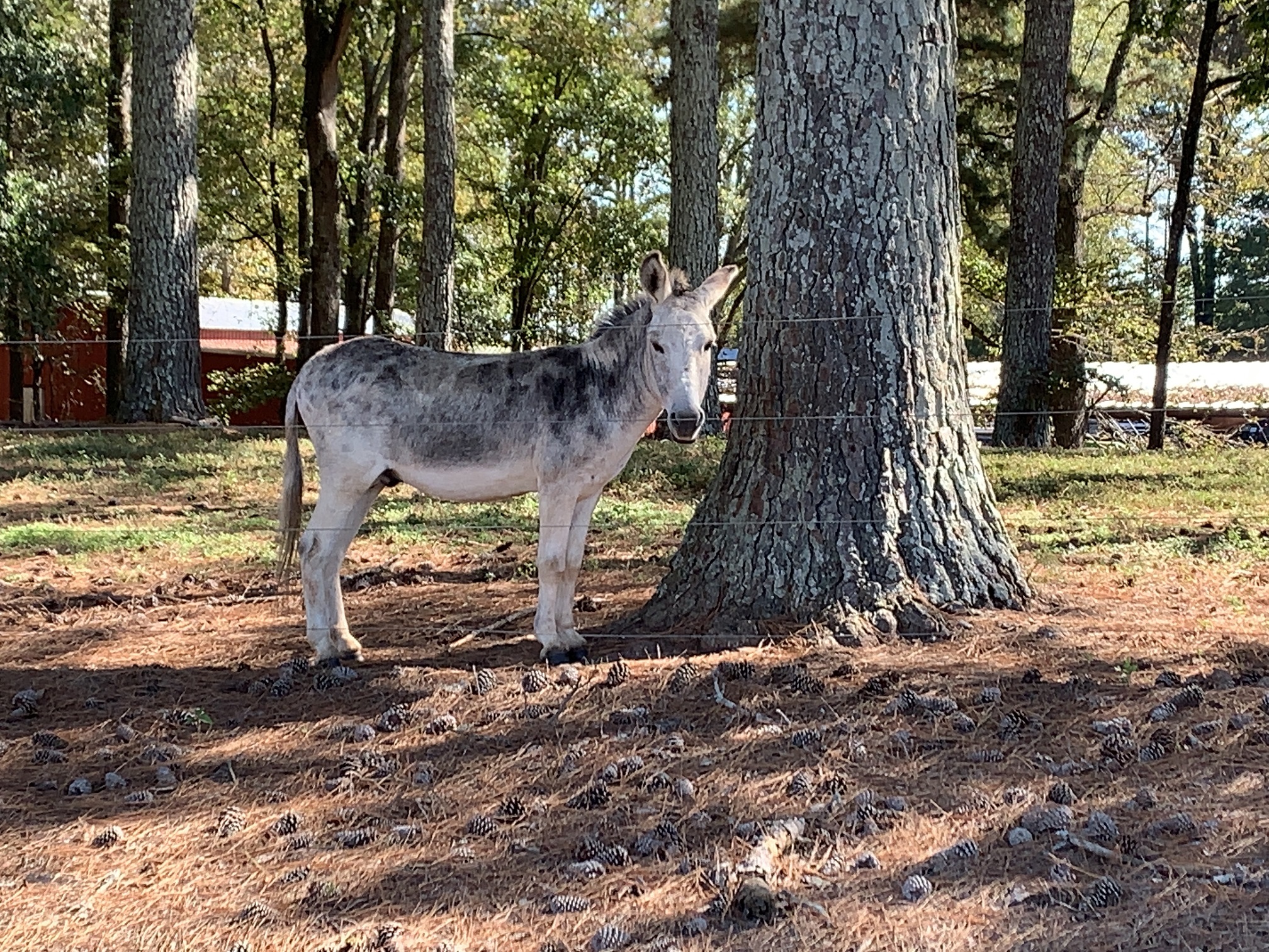
- West Georgia is known for lots of loose dogs but none were encountered when scouting the Centralhatchee Mixed Surface route. Animal control recommends pepper spray just in case.
- Parking at the Centralhatchee Recreation Facility is free. Note the signs which threaten towing if cars are left after park closing.
- The rec facility spacious restrooms which were absolutely immaculate at the time the route was scouted.
- The picnic pavilion has a spigot but it was locked each time we visited the rec facility. Apart from the restrooms, there will be no water available at the park.
- Don't count on any services in the town of Centralhatchee. Bring everything you need.
- There are several store stops in Roopville around mile 15 and one further along near mile 31. The mile 31 stop is set back from the road and easy to miss if you are zoned out or hammering. Make good use of these stores as there are no others on or near the route.
- The nearest town with full services is Carrollton, GA located 15 miles north of the ride start. Here you will find banks, restaurants, auto repair, a hospital and bike shops.
- The town of Franklin is located five miles to the south of the ride start. Franklin has the typical convenience stores, fast food restaurants, Dollar General and a Piggly Wiggly.
Terms of Use: Use of this route is at your own risk. This route map and associated route descriptions are believed correct at the time of publication but accuracy cannot be guaranteed. You assume all responsibility for 1) checking weather and road conditions, 2) knowing and obeying land use rules and restrictions, 3) knowing and obeying all rules of the road, 4) carrying and using proper safety and navigation equipment and, 5) knowing the limits of your physical ability. SoutheasCyclingRoutes.com, contributors and Timothy Hollingworth are in no way liable for personal injury, damage to personal property, or any other loss to individuals following this route or using information contained in the route map or description.
Hit this route last weekend, a good amount of climbing but great gravel. Nice course with a great mix to keep it from being repetitive. I did meet up with a few dogs, but they mostly behaved themselves and just tagged along for a bit. Overall a great time…thanks for the suggestions.
I followed this route March 19. It was cold and windy. As described, it is never flat. The bridge crossing is not difficult. It felt as though the route was closer to 57% gravel than the 43% gravel shown. On the map, if you click into some of the blue segments that are supposed to be gravel, they show up as paved in the elevation by distance chart. The last two gravel segments are entirely shown as entirely paved.
Hi Tim, we met today on the Silver Comet at a rest stop. You had mentioned to me about a scarf that you had that protected your neck and the lower part of your face. Can you give me the name of the manufacturer? I’d like to get one before the weather gets cold again
Thanks for your help.
Eric
I’m not finding Recreational Center in. Centralhatchee with google maps. Can you elaborate please
Hi Terri
The city lists the address as 139 Nutt Rd Franklin, Ga. 30217 https://goo.gl/maps/yx3YjjtEe5exPckP9
A note on parking. The Baptist church across from the park uses the first pavilion a good bit – mostly on Sunday’s – but occasionally on Saturday and the first part of the lot can fill up by mid-day. Out of courtesy to them I typically park as close to the War Memorial, or as of late, I drive to the next parking lot across from the ball fields which are actually closer to the bathrooms.
Interesting Wayne. I’ve never seen more than three cars there.
Tim. I use this parking lot for many of my rides, not just this one. Yes, most days there are very few cars there, however, I have been there plenty of times over the years where the church is using the first pavilion and the first lot is pretty full – usually by the time I am getting back from my ride. Winter’s, obviously less, but in the spring and fall it gets used often. My point only being that if we as riders, and as guests to the area, park in the next parking lot closer to the bathroom and ball field, then we don’t have to worry about it.
It’s good to know that it may sometimes be more crowded. I had wondered because it is such a nice facility. I agree about parking towards the rear. We have to be good ambassadors of our sport. Super nice area and I hope to meet you some day.
Hi Terri. It may be called simply “Centralhatchee Park” on some maps.
I created this route. Can you please add my name to the credits. It is a direct lift from my ridewithgps files even including the color coding of gravel sections and the rest stops. I don’t want to sound like an ass — though I sure I am — but I spent a good bit of time honing this route, even including the bridge crossing. It would be nice to be acknowledged for it.
Wow just went though the whole list of trails.Alot of fun and adventure awaits me,so happy to veiw these trails,thank you.
Wishing you many happy and safe miles! Please post your experience riding any of the routes and don’t hesitate to reach out if you have any questions or concerns. I’ll try to help. Nice name by the way 🙂
Thanks for heads up about this trail.It will be the 1st on my list as I head north to the Silver Comet-Chief Ladiga and beyond. This trail has all the markings of a fun 1 day route.I have 2 Surly bicycles,1 metal for the road a 2006Pacer that is metal with about 90,000miles on it with rust on the crossbar because I live in Fl with alot of rain and gulf salty air but still rolling along and of course lots of maintenance and tires,parts,tuneup through the yrs.My new off road is a2021 Surly Bridge Club that will be perfect this new trail,can’t wait.