
HELEN, GEORGIA
| RIDE TYPE Gravel | DISTANCE 45.8 Miles | ASCENT 5548 Feet |
| COURSE Loop | TERRAIN Mountains | SETTING Forest |
Georgia’s 46 mile Das Boot Cup route goes up, then down, then up some more, most of it on gravel forest service roads. “You will be climbing for the next hour” explained one rider. 50 MPH is possible on the paved descent from Unicoi Gap. Epic scenery, lots of options for apres-ride in the City of Helen and a crossing of Duke’s Creek make this an unforgettable route.
About the name… it was given to this route by Mike Smith of Dunwoody, Georgia who rode the route with a bunch of like minded riders in March of 2019. The name references both the boot shaped trophy/mug given to the first person back to the parking lot and the German heritage of the start location, Helen Georgia.
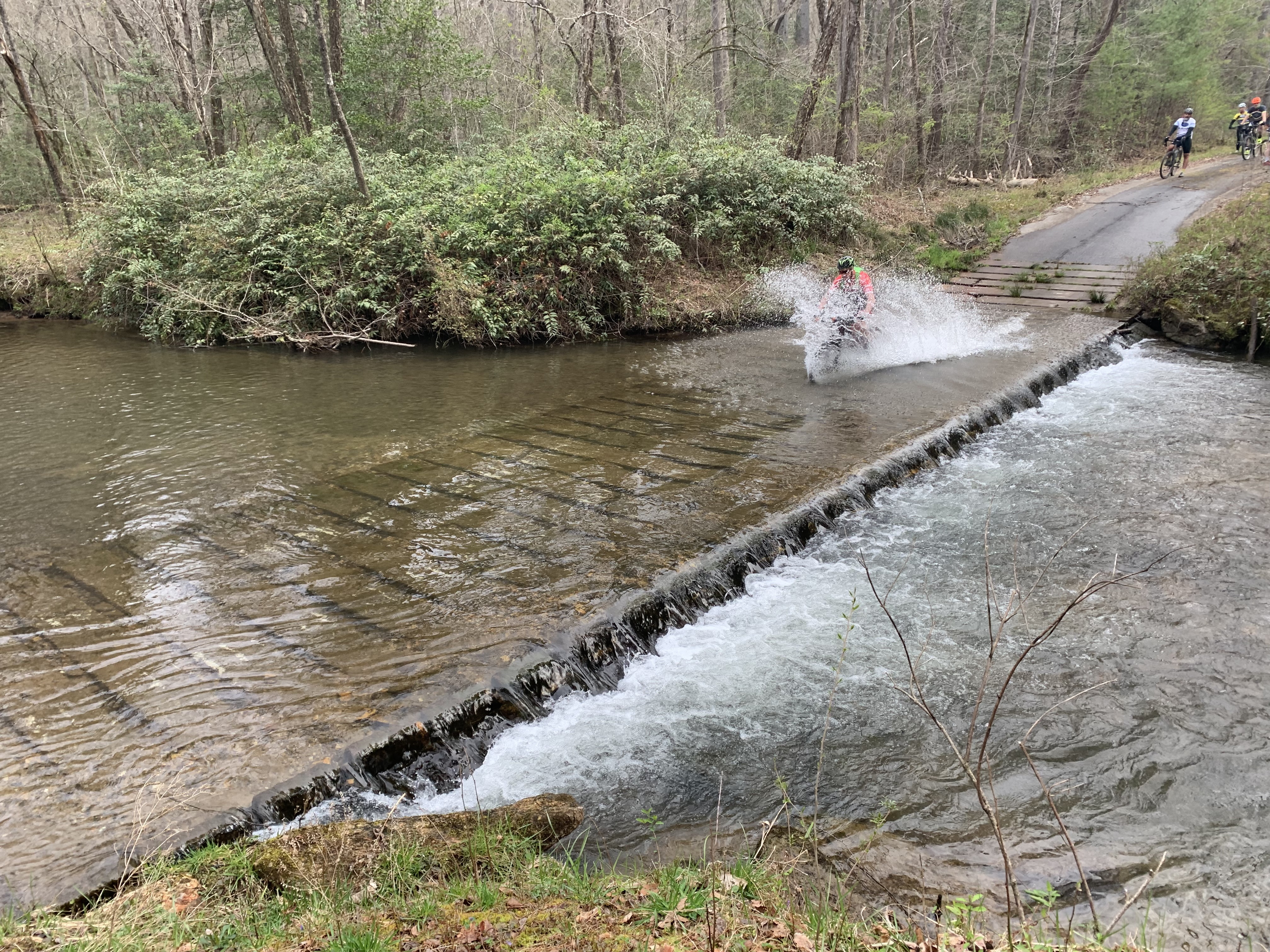
About the water crossing… you could climb uber steep Tower Rd and use the bridge or just go around on local roads but doing so would omit the spin through gorgeous Smithgall Woods State Park. The creek is worth crossing, especially in summer, if only for the photo op. Carry your bike if you don’t care to replace your bottom bracket.
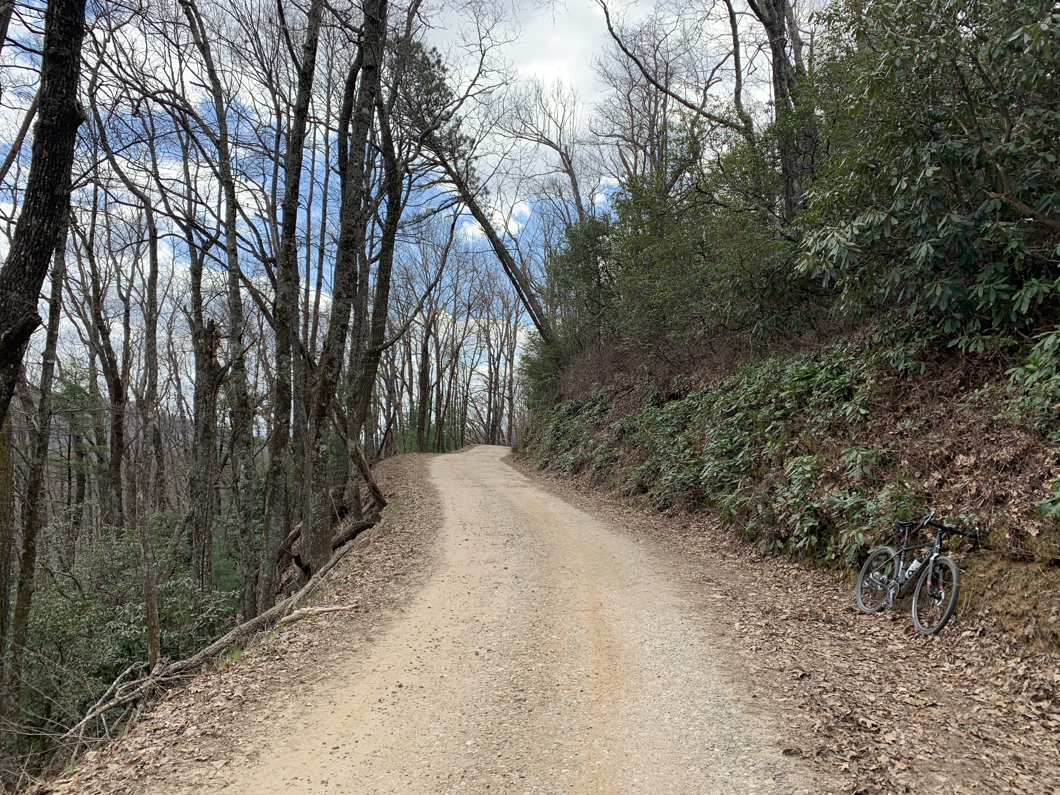
About the climbs…. The first follows the Chattahoochee River upstream towards its headwaters while the second ascends to near the summit of Tray Mountain, the fifth highest peak in Georgia. Both are gravel and some sections are gated. In between is a twisty paved descent down the backside of Unicoi Gap. The final descent down Tray Mountain Rd drops 2400 feet in just under eight miles and is arguably one of the best gravel descents in the state.

- Cycling along the Chattahoochee River.
- Descending to the top of Unicoi Gap.
- The 2400 foot drop from the top of Tray Mountain.
- Heavy rain may make Dukes Creek impassible. Use your judgement. Tower Rd is an alternate.
- The road will be gated one half mile after the start. You will need to lift your bike over.
- Expect heavy traffic getting to and from the City of Helen during Octoberfest.
- Parking is available in Helen for $5/day.
- Public restrooms are available throughout the City of Helen.
- Water may be available at Mt Zion Baptist Church near mile 25. Look for a spigot at the rear corner of the main church building. Availability is not guaranteed. If in doubt then bring a filter or hydration pack.
- There are zero store stops on this route.
Terms of Use: Use of this route is at your own risk. This route map and associated route descriptions are believed correct at the time of publication but accuracy cannot be guaranteed. You assume all responsibility for 1) checking weather and road conditions, 2) knowing and obeying land use rules and restrictions, 3) knowing and obeying all rules of the road, 4) carrying and using proper safety and navigation equipment and, 5) knowing the limits of your physical ability. SoutheasCyclingRoutes.com, contributors and Timothy Hollingworth are in no way liable for personal injury, damage to personal property, or any other loss to individuals following this route or using information contained in the route map or description.
I think it is worth mentioning that the steep descent of Tray Mountain is extremely difficult. IMHO this is for experienced bike handlers only.
I second this, road was pretty washed out when I went. Make sure your brake pads are up for the task before heading out and maybe even carry a spare. Great route though. I love the kitschyness of Helen and there is some good food to be had after a long ride.
The first 7 miles of this route are not rideable as shown (this is the part that leaves Helen and goes into Smithgall Woods). It takes you out of downtown Helen, across the creek and then across a dirt road on somebody’s property to a locked gate that has a no trespassing sign right by it. It may be doable, but I was getting some suspicious looks as I approached it, so elected to cut that part off. The rest, however is outstanding. There’s definitely some climbing!
How long did the shortened route take ?
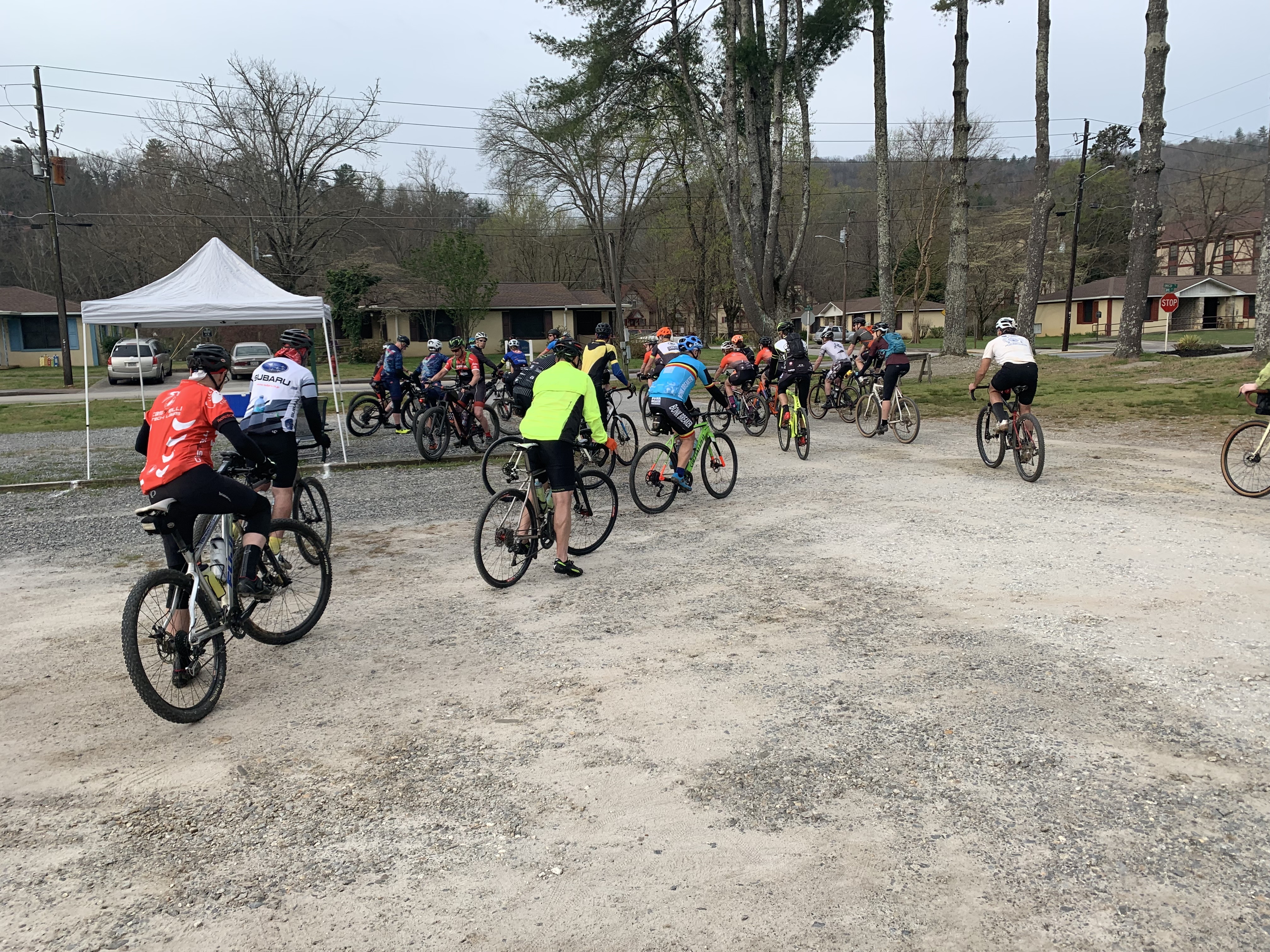
Interesting. I have not ridden this route in a few years and can’t remember a private property sign. I did it with about 100 fellas as one of the Rodeo rides and we all just clamored over the gate. Either way, thanks for the feedback, Mark. SoutheastCyclingRoutes.com always respects private property and land use rules and a refresh of this route is on my to-do list. I’ll get that corrected.
So far this was the most challenging gravel ride I have done. Pro-tip: instead of flying by the water stop at the church because the downhill is fun and you still have over 50 percent of the water you started out with and it is approximately the half way point, stop and fill your bottles. After mile 35, I was running really low on water and if anyone in a pickup truck had passed me, I would’ve offered them my emergency $20 to bail me out of there. Luckily, no one passed me because that downhill at the end is sick! I would definitely ride this again.
Hi again Olen. Thanks for the feedback! That’s some climbing for sure. I still wonder if the spigot at the Church is left on during winter.
-Tim-
Great Route – and a challenging fun ride. The Chattahoochee River Road is scenic and had well packed gravel.