ASHEVILLE, NC
| RIDE TYPE Road | DISTANCE 65.5 Miles | ASCENT 7734 Feet |
| PAVEMENT 100% | COURSE Out and Back | TERRAIN Mountains |
| GRAVEL 0% | SETTING Forest | HIGHEST POINT 6684 Feet |
This is the classic 65 mile paved road route from Asheville NC, along Blue Ridge Parkway to the summit of the highest peak east of the Mississippi River. Fit cyclists and climbers shouldn’t be intimidated. New cyclists and non-climbers can drive part way up and ride the rest. Either way, its more accessible than some imagine and a chance to ride in one of the most stunning environments anywhere in the eastern US.
The thought of riding to the summit of the highest peak on the east coast is intimidating. While the scenery is about as dramatic as it gets in the Southeast, most of what’s been written about the climb to the top of Mount Mitchell tends to be overly so. The entire Mount Mitchell route is a big day for sure, but for an experienced cyclists its an accessible, if not easy route. For climbers its a delight. If you’re not the greatest cyclist in the world then at least do part of the route. It’s more than a bucket list ride. It’s the answer to the question of why we ride.
Those keen on the summit should keep in mind that the Blue Ridge Parkway was designed for passenger cars as they existed nearly one hundred years ago. It’s rarely extremely steep. With the right gearing and attention paid to nutrition and hydration, a cyclist with good fitness won’t need to stand out of the saddle except to stretch. The entry road to the state park near the summit pitches up a little but if you can ride a metric and have done five or six thousand feet climbing in a single ride then you can climb the entire Mount Mitchell route.
As shown in the graphic above, the Mount Mitchell route isn’t 100% climbing all the way to the summit, nor is it all coasting back to the start. Two descents and a few flats will let you use bigger gears on the way “Up.” Those same descents become climbs on the way “Down” so you will need to keep a little gas in the tank for the return. In fact, 25% of the elevation gain on the route comes after having reached the top. At the end of the day you will have ridden above 5000 feet elevation for close to 30 miles and pedaled more than five miles at altitude above 6000 feet. For those who live near sea level, the somewhat thinner air above 6000 feet will likely be noticeable – more of a curiosity and not a show stopper by any means.
Route logistics are relatively straightforward and add to its accessibility. The Mount Mitchell route starts at the Folk Art Center on the Blue Ridge Parkway just outside of Asheville, NC. The Folk Art Center is a large facility with restrooms and ample parking. Craggy Gardens Visitor’s Center sells bottled water and has both a water fountain and restrooms accessible when the visitor center is closed. You will pass the visitor center at mile 18.7 going up and again at mile 46.8 going down, making it a convenient place to relieve, refill and chat with other cyclists. Mount Mitchell State Park has restrooms and a concession at the summit, both of which were closed for construction when the route was scouted in August of 2021. Be sure to check the tabs below for important facilities information.
In season you will share the road with polite motorists and cyclists alike. Asheville locals like to climb from the city to “Craggy” and riders from all over the east coast come to summit the mountain. Motor vehicle traffic isn’t bad, especially mid-week, and everyone is there for the same reason – to take in the stunning scenery.
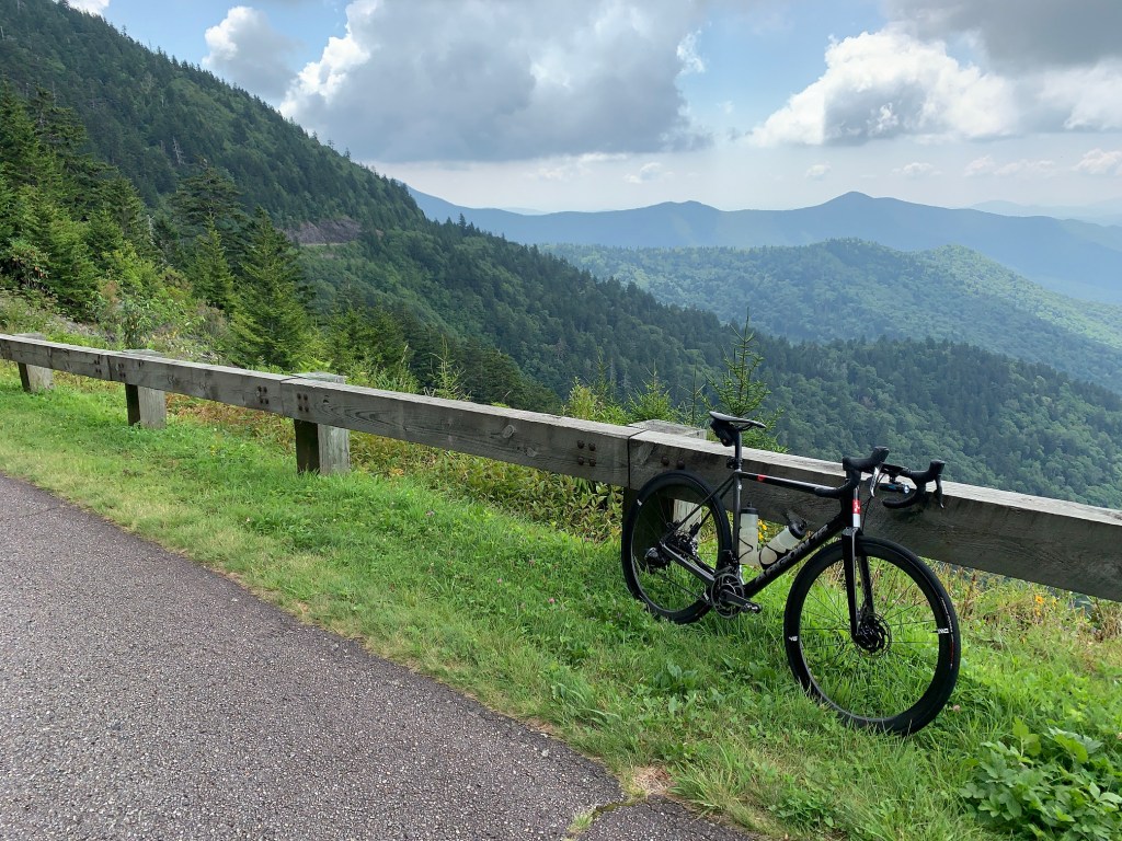
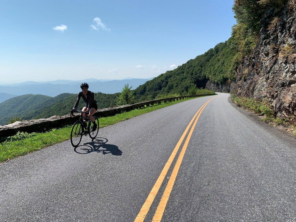
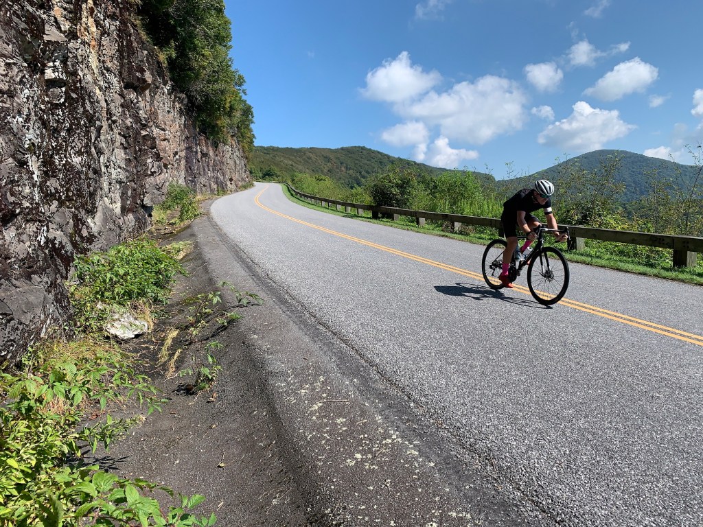
Expect dense forest below 4000 feet with occasional views from the overlooks. Deciduous hardwoods give way to mountain laurel and balsam pine above 5000 feet and its here that you will encounter long sections of shelf roads and vistas to take your breath away. The 6000 foot high road through Mount Mitchel State Park is lined with wildflowers in summer and you will run a gauntlet of butterflies getting to the top.
Expect lots of questions to go along with the scenery. “How far are you riding?” “Where did you start?” “How much does that thing weigh?” It’s almost impossible to explain to non-cyclists that what you are doing is anything close to normal. “Did you just say you started in Asheville!!!???” For a sport that doesn’t get much respect, it’s a chance to be a superhero for the day.
Cyclists who aren’t able to do the entire route should give serious consideration to attaining the summit from Craggy Gardens where the most spectacular views begin. Riding from the visitor center or picnic area to the summit and back will reduce the route to about 28 miles and 3500 feet of climbing. Overlooks, picnic areas and pull-outs all along the route can be used as a start location making distance and climbing options adaptable to most rider’s ability.
For the truly adventurous, an alternate route from downtown Asheville is posted below. Pointed out by several local riders, this version ups the ante in terms of steepness (Town Mountain Rd) and technical descending (Elk Mountain Hwy). SoutheastCyclingRoutes.com didn’t ride this version but we did drive it and spoke with several cyclists who verified the route.
SoutheastCyclingRoutes.com is pleased to present the Mount Mitchell route and encourage all cyclists who read this to give it a go. Please post a comment if you reach the summit. Go ahead and brag.
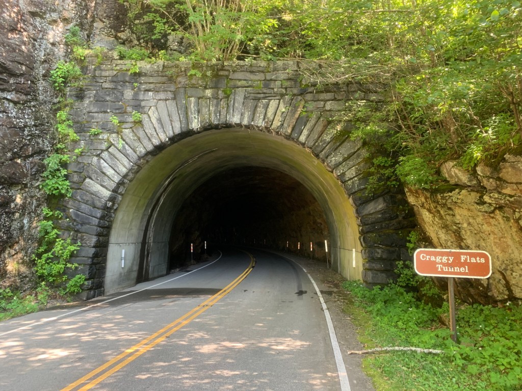
- The Mt. Mitchell route passes through three of the Blue Ridge Parkway's iconic tunnels. The Tanbark Ridge tunnel is close to 850 feet long and self preservation demands lights, both front and rear. Front lights are required by law on the Blue Ridge Parkway.
- Cyclists in the mountains can expect approximately 3.6° f temperature drop for every 1000 feet gained. This has very real implications in an alpine environment and the summit of Mt. Mitchell can easily be 20° cooler than downtown Asheville. A gilet for those long descents isn't out of the question on all but the hottest days.
- The Pisgah National Forest is just south of Asheville and is MTB heaven. A drive south along the Blue Ridge Parkway and through the forest to the town of Brevard makes for a fantastic day trip.
- A high alpine bald known as Max Patch is located off Interstate 40 approximately 1 hour west of Asheville. Max Patch is another great day trip and there is some amazing gravel riding in the area for those so inclined.
- Keep in mind the final descent. It's 11 miles long and drops a half mile. It's probably a good idea to service your brakes before riding the Mt. Mitchell route. Worn tires aren't a good idea either. Arrive alive please.
- Entry and parking on both the Blue Ridge Parkway and Mt. Mitchell State Park is entirely free.
- Getting current information from the National Park Service is a crap shoot and as of August 2021, the phone number for the Craggy Gardens Visitor Center listed on the NPS Blue Ridge Parkway website went to the parkway headquarters main number. SoutheastCyclingRoutes.com actually drove up the day before to check availability of water.
- Consistent with above, the National Park Service has replaced the excellent Blue Ridge Parkway Real Time Closure Map with a chart updated at uncertain intervals. The chart lists road and facilities closures and is viewable at https://www.nps.gov/blri/planyourvisit/roadclosures.htm.
- Your best bet for information about Mt. Mitchell State Park is to call. SoutheastCyclingRoutes.com called the park in late August of 2021 and it went straight to voicemail. Someone called back right away however and expressed frustration with their phone vendor. The person who called back was extremely helpful nonetheless. Check the Mt. Mitchell State Park website at https://www.ncparks.gov/mount-mitchell-state-park/home for phone number and email address.
- As of August 2021, the concession at the summit of Mt. Mitchell was closed due to construction and the water shut off. Alternate restrooms are available at the small office on the right just inside the park gate. There is a spigot under the sink which can be used to fill bottles.
- The nearest town to the ride start is Asheville, NC. With the possible exception of good coffee, all modern conveniences and services are available in Asheville.
- Youngblood Bicycles in Asheville was extremely helpful, repairing a bent gravel bike derailleur hanger while SoutheastCyclingRoutes.com waited.
Terms of Use: Use of this route is at your own risk. This route map and associated route descriptions are believed correct at the time of publication but accuracy cannot be guaranteed. You assume all responsibility for 1) checking weather and road conditions, 2) knowing and obeying land use rules and restrictions, 3) knowing and obeying all rules of the road, 4) carrying and using proper safety and navigation equipment and, 5) knowing the limits of your physical ability. SoutheasCyclingRoutes.com, contributors and Timothy Hollingworth are in no way liable for personal injury, damage to personal property, or any other loss to individuals following this route or using information contained in the route map or description.






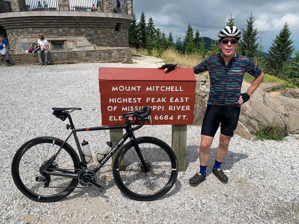


Rode this at the end of the Fall season, 11/8/2023. Without a doubt, one of the greatest rides I have ever done. Couldn’t ask for better weather in November. Cars were polite, and I had some wonderful conversations at every stop with curious drivers. I would not advise this on busy days, but I was able to actually ride up all the way to the observation platform where the crowd spontaneously broke into applause, lol. Thanks, SE Cycling Routes. I will do it again! Strava here: https://www.strava.com/activities/10185103415
Dropping a note to let people know that when I rode on Sept 2, 2022 the Craggy Gardens visitors center has their water fountains turned off due to vandalism. You can purchase water from them during their open hours, but make sure to bring money to pay for it.
Not sure if they will turn them back on, but be prepared for that!
Does this route have stops for water?